St Mary's Development
Unfinished History

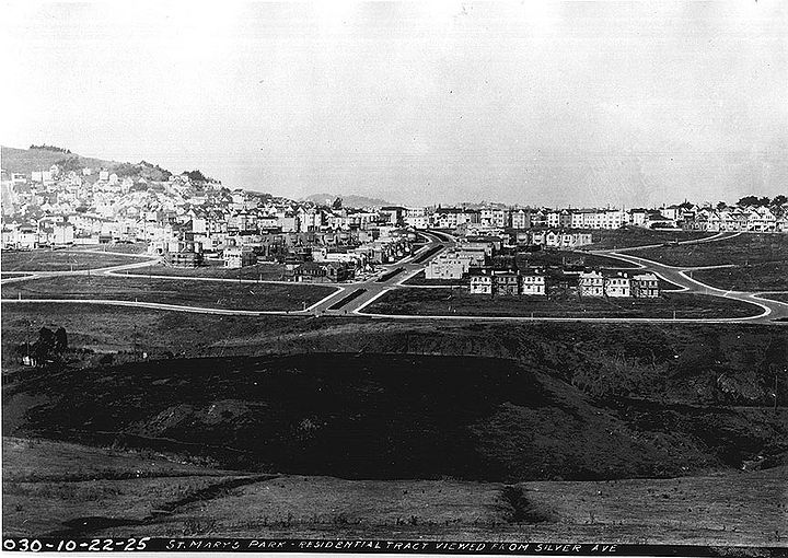
Silver Avenue view: 1925 northeastward towards the new St Mary's Residential Tract southwest of Bernal Heights and west of the St. Mary's Recreation Center
Private Collection, San Francisco, CA
In 1855, Joseph Alemany, first archbishop of San Francisco, acquired a tract of land near Hayes and Polk streets for the site of a new college, St. Mary's. However, the increased congestion in the rapidly expanding city forced Alemany to the "country" south of San Francisco, where he bought 60 acres of Rancho Rincon de la Salinas y Potrero Viejo from Jesus Bernal (son of José Bernal) for $1,600, and laid a cornerstone for the college in 1862.
For a time the neighborhood was also used as a truck farm providing fruits and vegetables to the growing city.
In 1924 Archbishop Riordon had the land surveyed and opened for subdivision. The neighborhood was laid out in the shape of a bell. As the community grew, the city of San Francisco set aside 13 acres for a recreation area to the east, 10 of which it bought for $87,500, while the Archdiocese donated the remainder. Justin, Agnon, and Genebern (all street names within St. Mary's Park) were teaching brothers at St. Mary's College.
Thanks to David Otero's website on the history of St. Mary's Park.
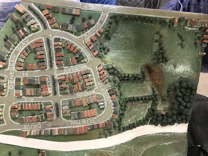
A scale wooden model of San Francisco was built in 1940 from 1938 aerial photos taken of the whole peninsula, and the San Francisco Public Library and SFMOMA’s Public Knowledge project showcased portions of the model in library branches in 2019.
Photo: LisaRuth Elliott
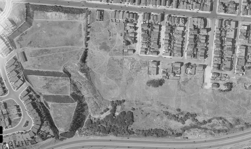
Aerial photo from 1938 mentioned above, showing the east edge of the St. Mary's Bell.
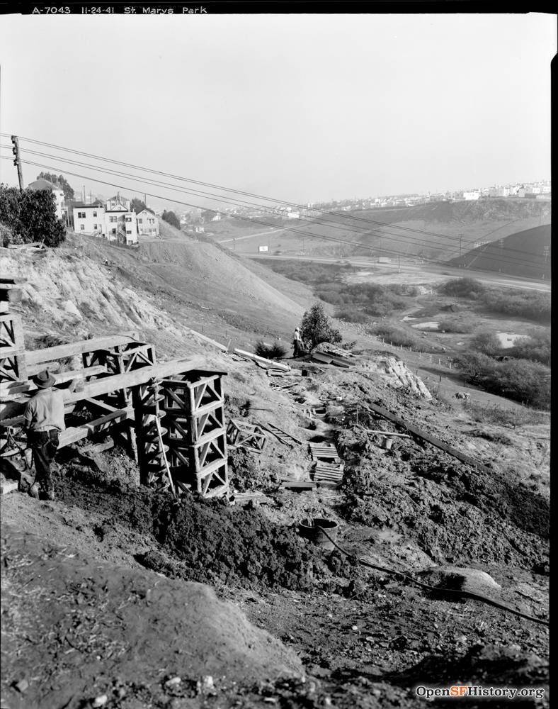
November 24, 1941: View southeast toward Alemany Boulevard and Silver Terrace from the east edge of St. Mary's Park. Ponds visible at bottom of hill where Alemany Public Housing is today.
Photo: OpenSFHistory.org, wnp26.051, DPW A7043


