SF's Southern Edge
Unfinished History
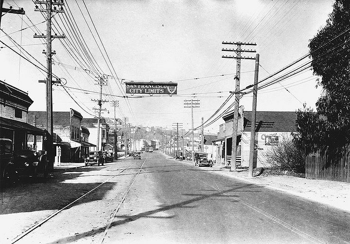
San Bruno Avenue, now Bayshore Boulevard, at intersection with Sunnydale Avenue, 1928. Southern Pacific yards and roundhouse are to the east (right) of this photo, where they were established on the landfill in what was once known as Candlestick Cove, or Brisbane Lagoon.
Photo: San Francisco History Center, San Francisco Public Library
Same view—of Bayshore Boulevard at Sunnydale Avenue, San Francisco southern city limit—taken March 2020.
Photo: Ryan Kuang
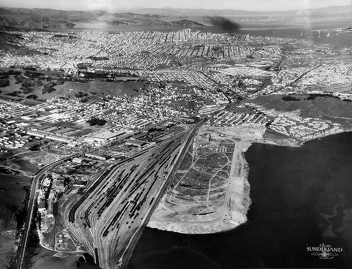
Northerly view from above San Bruno Mountain with railyards and San Francisco dump in foreground, SF city limits not far north of the bottom of the photo.
Photo: San Francisco Planning Commission
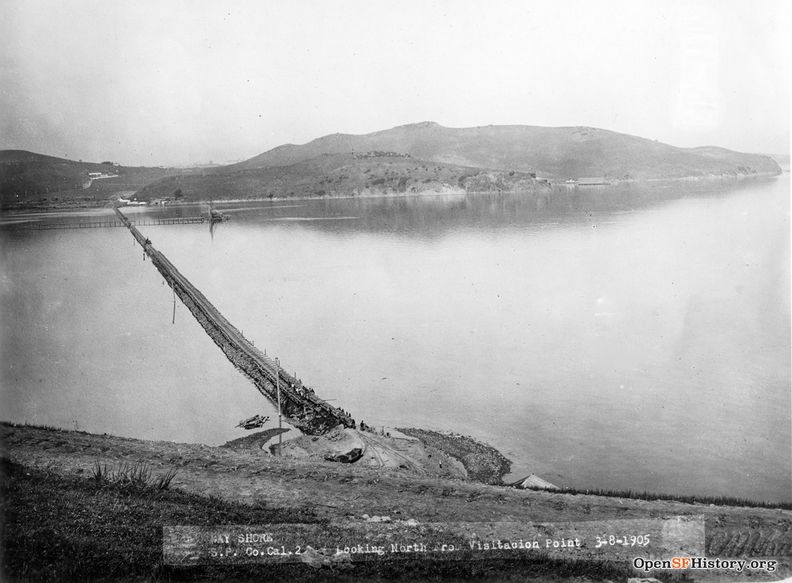
March 8, 1905 view north from Visitacion Point, Brisbane. The first hill across the water was flattened for bay fill that became the Southern Pacific bayshore railyards.
Photo: OpenSFHistory.org wnp27.6366
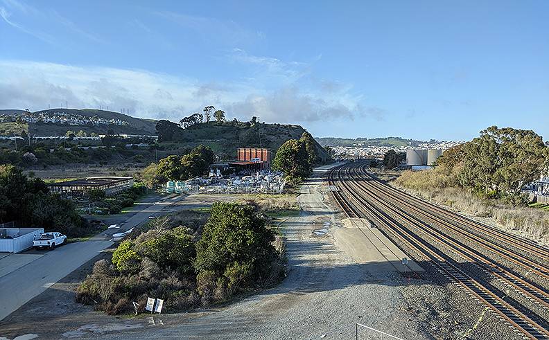
Northerly view of Caltrain tracks at Brisbane overpass, 2020.
Photo: Chris Carlsson
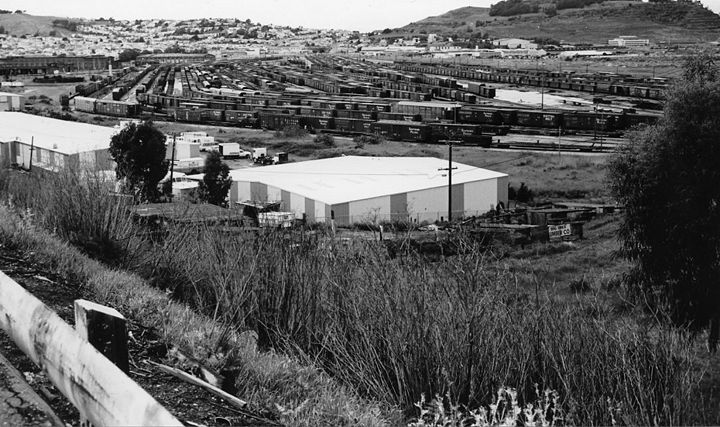
The Bayshore yard in 1983, with train traffic, straddling the political boundary between San Francisco and San Mateo counties.
Photo: courtesy Reg McGovern
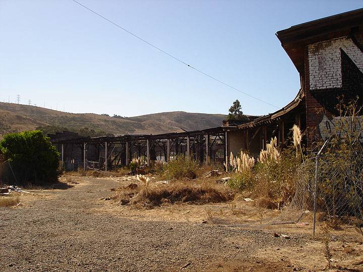
Old Southern Pacific roundhouse, long abandoned, in Bayshore train yard, 2010.
Photo: Chris Carlsson
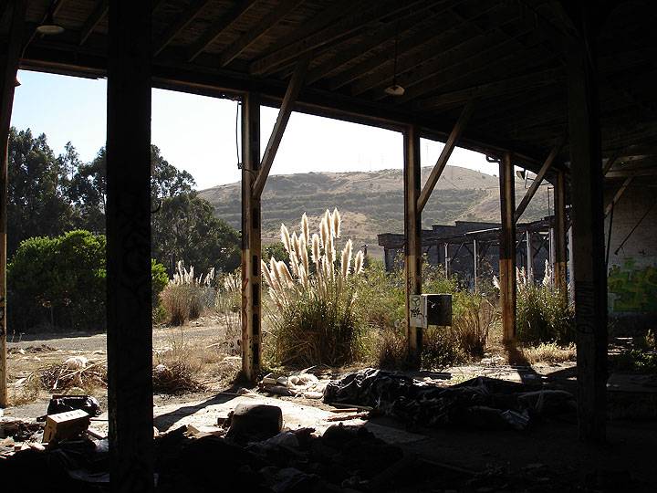
From inside the old SP roundhouse, 2010.
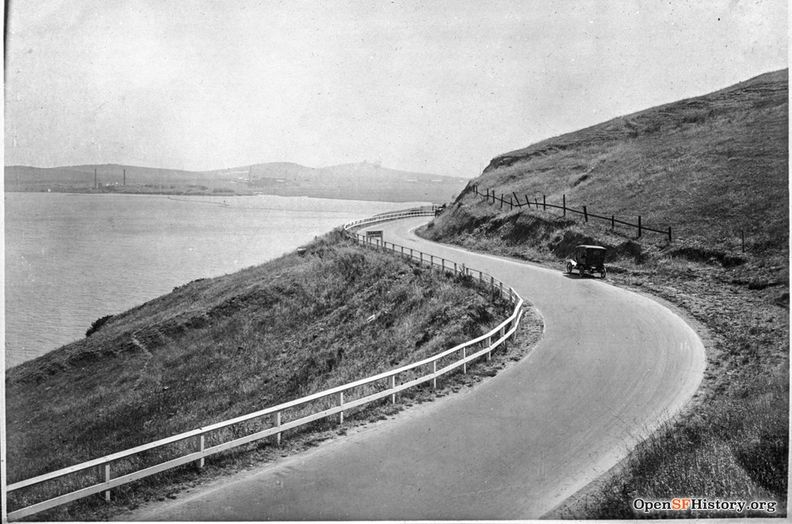
Bayshore highway wrapping around San Bruno Mountain, south of Visitacion Valley, July 9, 1917.
Photo: OpenSFHistory.org wnp36.01644; DPW Book 19, DPW 4509
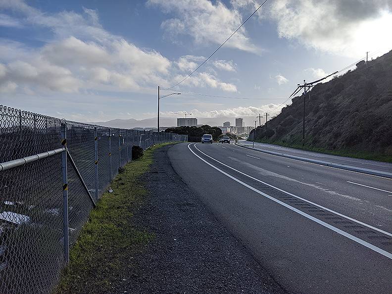
Bayshore highway above Sierra Point wrapping around San Bruno Mountain's easternmost corner, south of Visitacion Valley, January 26, 2020.
Photo: Chris Carlsson

