Corona Heights
Unfinished History
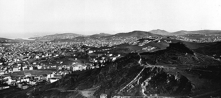
1886 view southeast from Buena Vista hill. Corona Heights in foreground, Liberty Hill with a smattering of houses on it behind that. The Jewish Cemetery is visible where Dolores Park is today.
Photo: Private collection
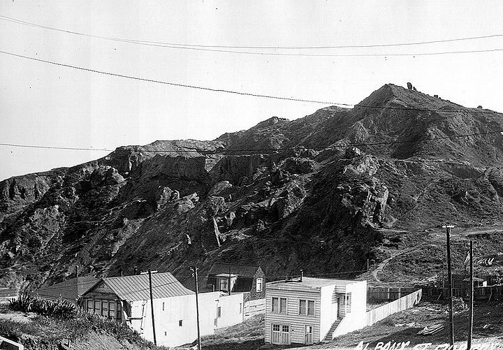
Corona Heights seen from the north, 1926.
Photo: Private collection
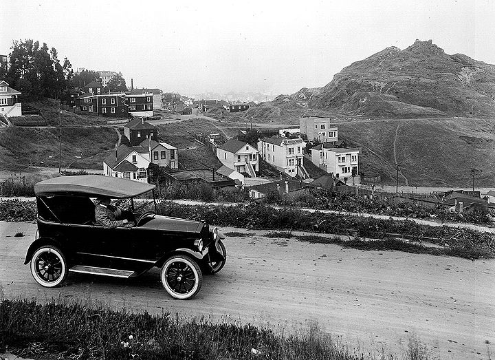
Corona Heights behind promotional shot for new car, 1920s.
Photo: Private collection
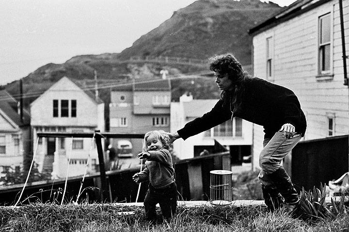
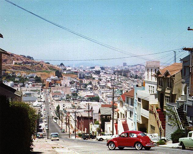
Mom chasing kid just west of Corona Heights, c. 1966.
Photo: © 1969 Chuck Gould, all rights reserved.
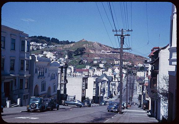
Corona Heights above Eureka Valley, seen here from Diamond and 20th Streets, March 26, 1952.
Charles Cushman Collection: Indiana University Archives (P05903)
Looking north on Diamond Street towards Julia Randall Museum on Corona Heights, 1965, former quarry site.
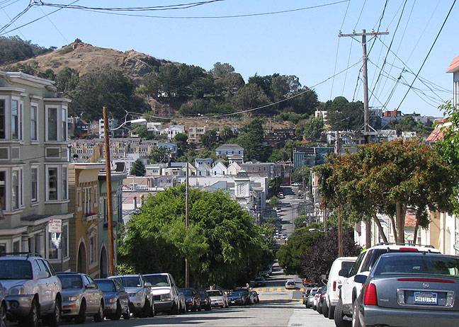
Corona Heights above Eureka Valley, from 20th and Diamond Streets, July 26, 2009.
Photo: Chris Carlsson
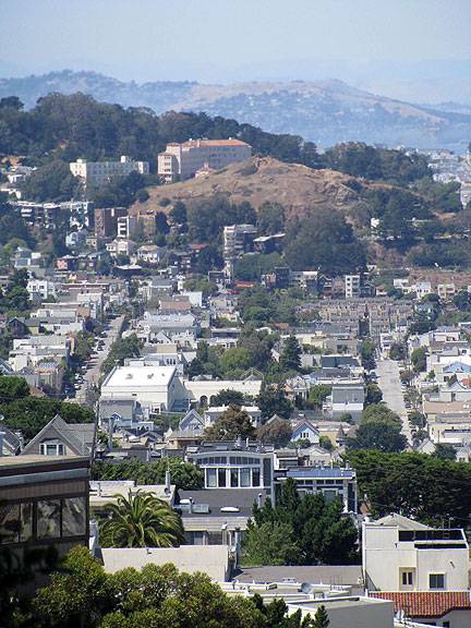
Corona Heights with Buena Vista Park behind it, viewed from the top of the Gold Mine Hill overlook, south to north.
Photo: Chris Carlsson
Corona Heights from Roosevelt Avenue.
Photo: Chris Carlsson
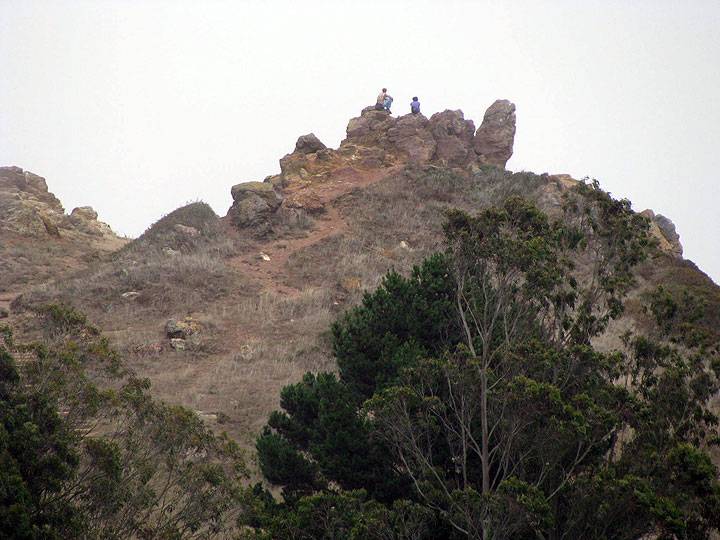
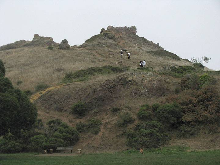
Seen from the west.
Photo: Chris Carlsson
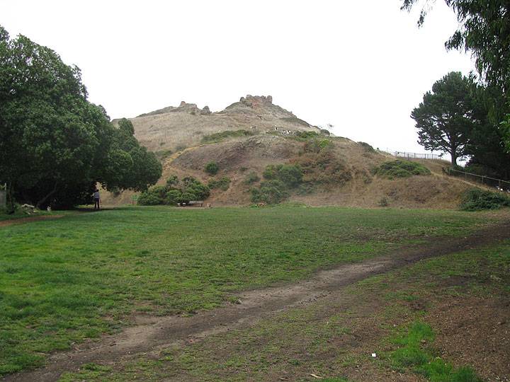
Seen from the west gate.
Photo: Chris Carlsson

