Peralta Street and Bernal Heights North Slope
Unfinished History
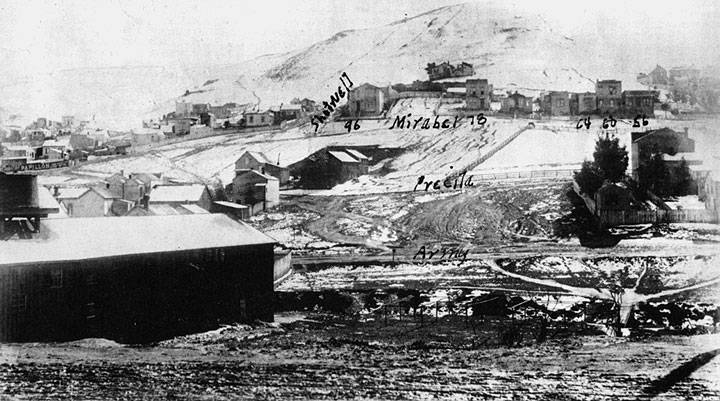
Snow on north slope of Bernal Heights, Precita Creek in gulley at bottom, 1883.
Photo: St. Anthony-Immaculate Conception School
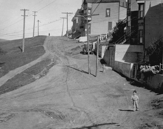
Peralta Street eastward, c. 1920s
photo: Private Collection, San Francisco, CA
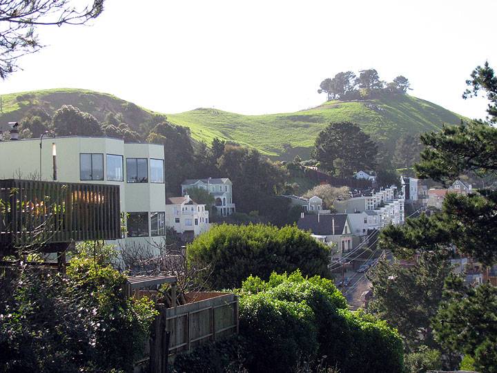
The once rather barren natural terrain of Bernal Heights takes on a lush, almost tropical appearance after winter rains. This is taken from the top of the Peralta Stairs at Samoset.
Similar view back on Feb. 25, 1936, looknig west towards intersection of Alabama and Waltham.
Photo: OpenSFHistory.org wnp26.152, DPW A4695
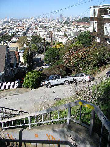
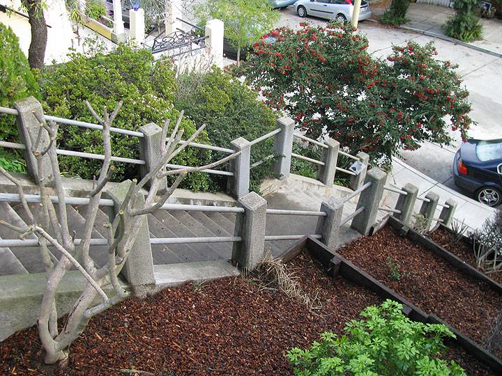
Just a landing lower than the image above, with the camera pointing northward down the Peralta Stairs (the right of way of Peralta is largely garden paths and stairways on this part of the hill).
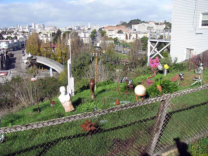
Peralta turns northeast nearer the bottom of the hill, and in a vacant lot neighbors have erected this sculpture garden.
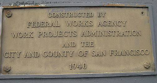
Further west on the north side of Bernal, where Shotwell Street ascends beyond Mirabel (check the 1883 photo for where the streets are written in), the New Deal WPA built these stairs connecting Aztec Street and Shotwell in 1940.
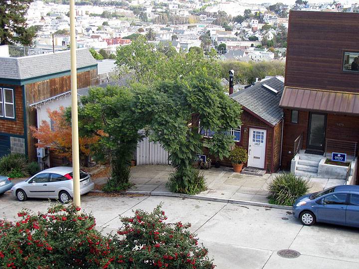
These two small structures on Shotwell, opposite the Aztec stairs, are almost surely 1906 earthquake shacks, of which there are a surprising number dotting the hill.
Photos: Chris Carlsson
A woman standing by a car with the northerly view from Bernal Heights to downtown behind her, c. 1950.
Photo: OpenSFHistory.org wnp14.3485

