Golden Gate Park Lakes: Difference between revisions
No edit summary |
added new photos |
||
| Line 27: | Line 27: | ||
[[Image:Chain of Lakes circa 1905 wnp15.1719.jpg|800px]] | [[Image:Chain of Lakes circa 1905 wnp15.1719.jpg|800px]] | ||
'''Chain of Lakes with rustic bridge, c. | '''Chain of Lakes with rustic bridge, c. 1897.''' | ||
''Photo: OpenSFHistory.org wnp15.1719'' | ''Photo: OpenSFHistory.org wnp15.1719'' | ||
[[Image:North Lake, Chain of Lakes, Rustic Bridge, Two women posing on high bridge to island on North Lake. c1900 opensfhistory wnp27.2851.jpg|800px]] | |||
'''North Lake, Chain of Lakes, rustic bridge, two women posting on high bridge to island, c. 1900.''' | |||
''Photo: OpenSFHistory.org wnp27.2851'' | |||
[[Image:Woman posing on concrete rustic bridge, likely on North Lake in Golden Gate Park.opensfhistory wnp37.03245.jpg|800px]] | |||
'''Woman posing on concrete rustic bridge, probably North Lake.''' | |||
''Photo: OpenSFHistory.org wnp37.03245'' | |||
[[Image:Spreckels-Lake 4565.jpg]] | [[Image:Spreckels-Lake 4565.jpg]] | ||
Revision as of 20:40, 26 September 2022
Unfinished History
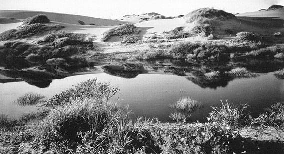
This c. 1910 photo by Willard Worden shows an inter-dune pond in the future Sunset District. Before Golden Gate Park was developed, 14 native inter-dune lakes existed within the park's 1,013 acres. All of the native lakes were filled except the Chain of Lakes, and manmade bodies of water replaced the natural lakes.
Photo: Private Collection, San Francisco, CA
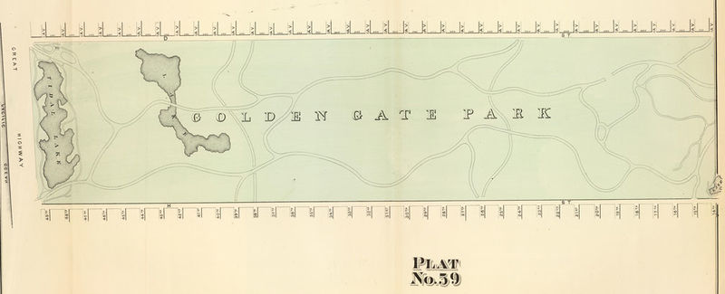
1876 map of western end of new Golden Gate Park, showing the original fresh water lakes east of sand ridges, one near the ocean, and the other that later was reconfigured into "Chain of Lakes" near 41st Avenue.
Map: courtesy David Rumsey collection
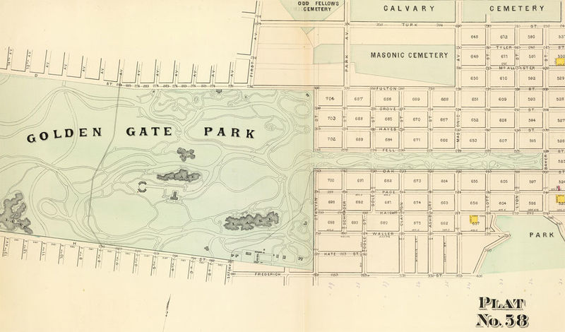
Eastern end of Golden Gate Park, 1876, with large-ish lake at site of the Sharon Children's Playground, later filled in. Original Big Four cemeteries visible at upper right.
Map: courtesy David Rumsey collection
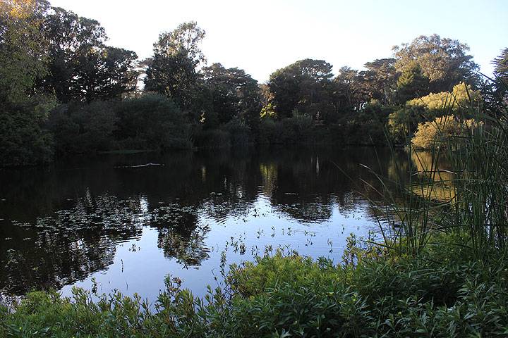
Chain of Lakes near western end of Golden Gate Park, 2014.
Photo: Chris Carlsson
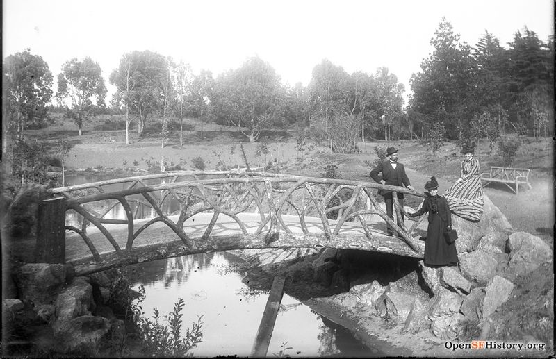
Chain of Lakes with rustic bridge, c. 1897.
Photo: OpenSFHistory.org wnp15.1719
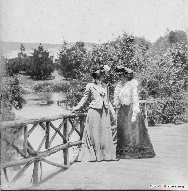
North Lake, Chain of Lakes, rustic bridge, two women posting on high bridge to island, c. 1900.
Photo: OpenSFHistory.org wnp27.2851
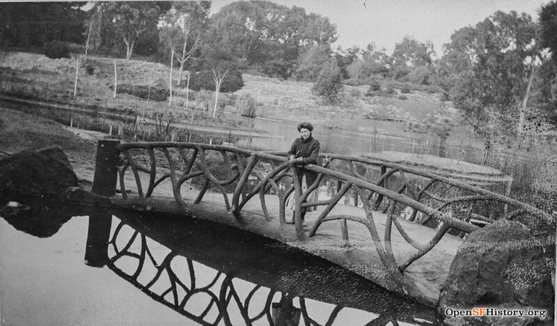
Woman posing on concrete rustic bridge, probably North Lake.
Photo: OpenSFHistory.org wnp37.03245
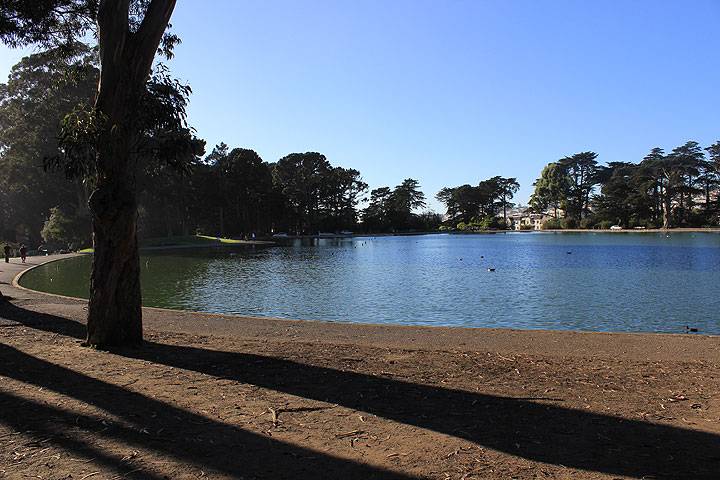
Spreckels Lake, home to the S.F. Model Yacht Club, 2014.
Photo: Chris Carlsson
Elk Glen Lake, 2014.
Photo: Chris Carlsson
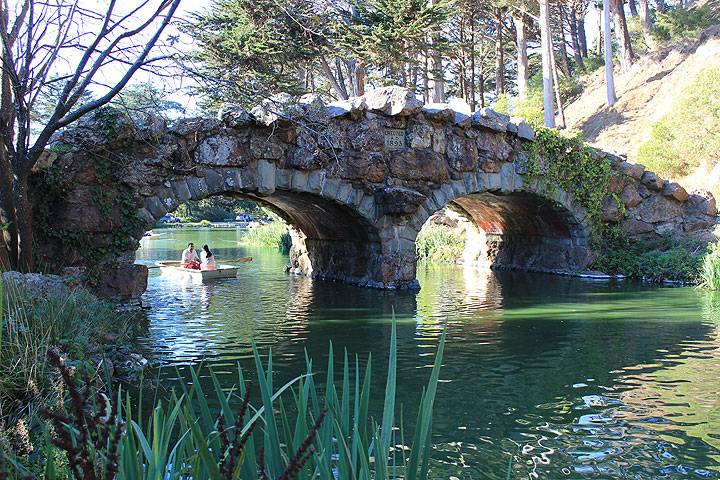
1893 bridge crossing Stow Lake to Strawberry Hill, 2014.
Photo: Chris Carlsson
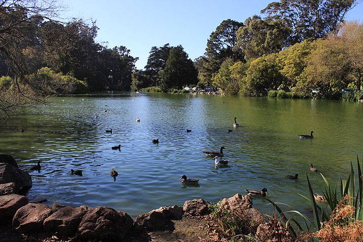
Stow Lake provides sanctuary to many different birds.
Photo: Chris Carlsson
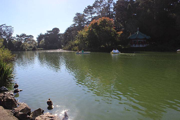
Stow Lake, 2014.
Photo: Chris Carlsson
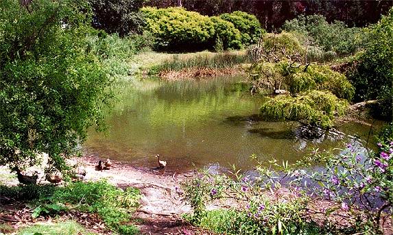
Mallard Lake, with its namesake inhabitants.
Photos: Chris Carlsson

