Pac Bell Ballpark: Difference between revisions
added Mat C video |
added aerial shot |
||
| Line 24: | Line 24: | ||
''photos and text by Chris Carlsson'' | ''photos and text by Chris Carlsson'' | ||
[[Image:Aerial-soma-from-ballpark-to-downtown-1999.jpg]] | |||
'''In this 1999 aerial shot you can see the ballpark at upper right still being finished, with the new offramps from I-280 to King Street, but hardly any of the booming development that would follow.''' | |||
''Photo: Chris Carlsson'' | |||
| Line 29: | Line 35: | ||
[[category:SOMA]] [[category:2000s]] [[category:baseball]] [[category:Mission Bay]] | [[category:SOMA]] [[category:2000s]] [[category:baseball]] [[category:Mission Bay]] [[category:1990s]] | ||
Revision as of 22:43, 15 March 2016
Unfinished History
Mat Callahan, former longshore worker and cabbie, talks about the history of the waterfront as he drives through Mission Bay along 3rd Street, crossing the 3rd Street Bridge and turning onto Berry Street to get to the Embarcadero, continuing on to beneath the Bay Bridge, in 1997! Before the ballpark had even begun demolition...
Video by Chris Carlsson
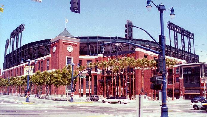
Pacific Bell Park, which should have been called "Willie Mays Field," the new home of the Giants.
The hated L.A. Dodgers swept the Giants in the opening 3 games at Pacific Bell Park (April 12-14, 2000). Home runs to right field could now land in the water.
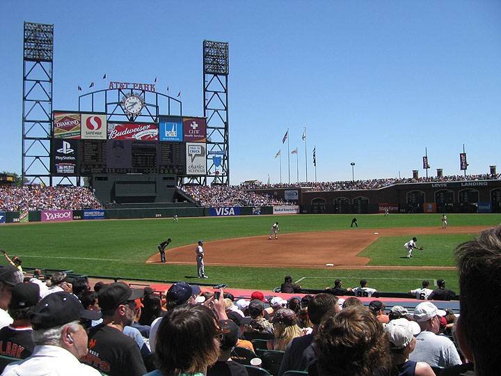
Giants and Dodgers maintain their rivalry, this being an August 12, 2009 game between them.
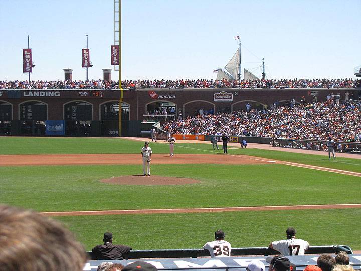
Cy Young repeat winner Tim Lincecum pitches against the Dodgers in this August 2009 game while a tall sailing ship passes behind the right field arcade in McCovey Cove, which used to be better known as Mission Creek.
photos and text by Chris Carlsson
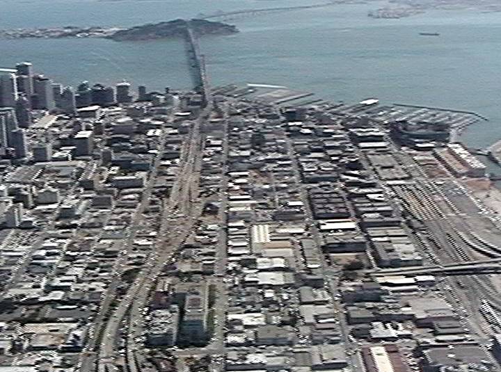
In this 1999 aerial shot you can see the ballpark at upper right still being finished, with the new offramps from I-280 to King Street, but hardly any of the booming development that would follow.
Photo: Chris Carlsson


