Twin Peaks: Difference between revisions
(Changed credits from Greg Garr to Private Collection) |
(Changed credits from Greg Garr to Private Collection) |
||
| Line 21: | Line 21: | ||
'''Close-up of 1906 view from Twin Peaks''' | '''Close-up of 1906 view from Twin Peaks''' | ||
''Photo: | ''Photo: Private Collection, San Francisco, CA'' | ||
[[Image:Twin-peaks-tourist-view.jpg]] | [[Image:Twin-peaks-tourist-view.jpg]] | ||
Revision as of 14:13, 17 June 2014
Unfinished History
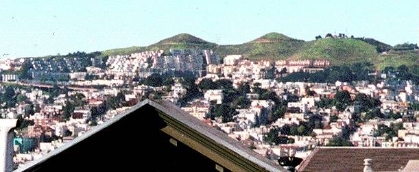
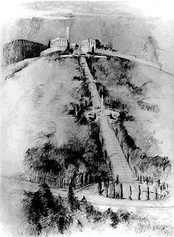
The view from Twin Peaks is world famous. Under the Burnham Plan of 1905 a straight boulevard would have ascended all the way to the top, but after the earthquake of 1906, the Burnham Plan was buried by events.
Photo: Chris Carlsson
Stairs ascend from the Castro to Twin Peaks under proposed Burnham Plan
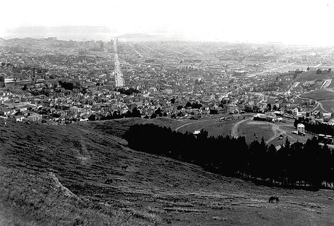
The famous view from Twin Peaks, here in 1906 a month after the big earthquake.
Photo: Private Collection, San Francisco, CA
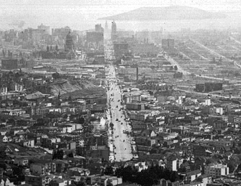
Close-up of 1906 view from Twin Peaks
Photo: Private Collection, San Francisco, CA
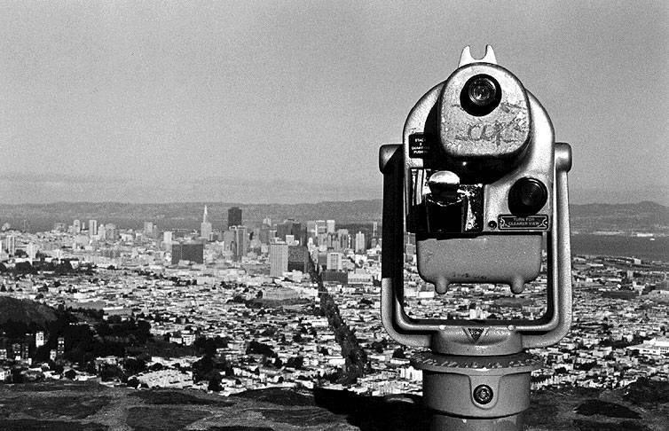
Classic tourist view of city from Twin Peaks, 1998.
Photo: Marina McDougal
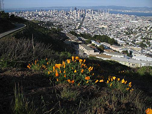
View from south peak of Twin Peaks, April 2008, with California poppies in foreground.
Photo: Chris Carlsson
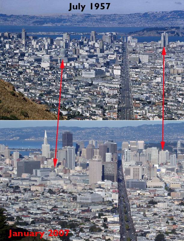
1957 photo: Charles Cushman Collection: Indiana University Archives (P09400)
2007 photo: Chris Carlsson
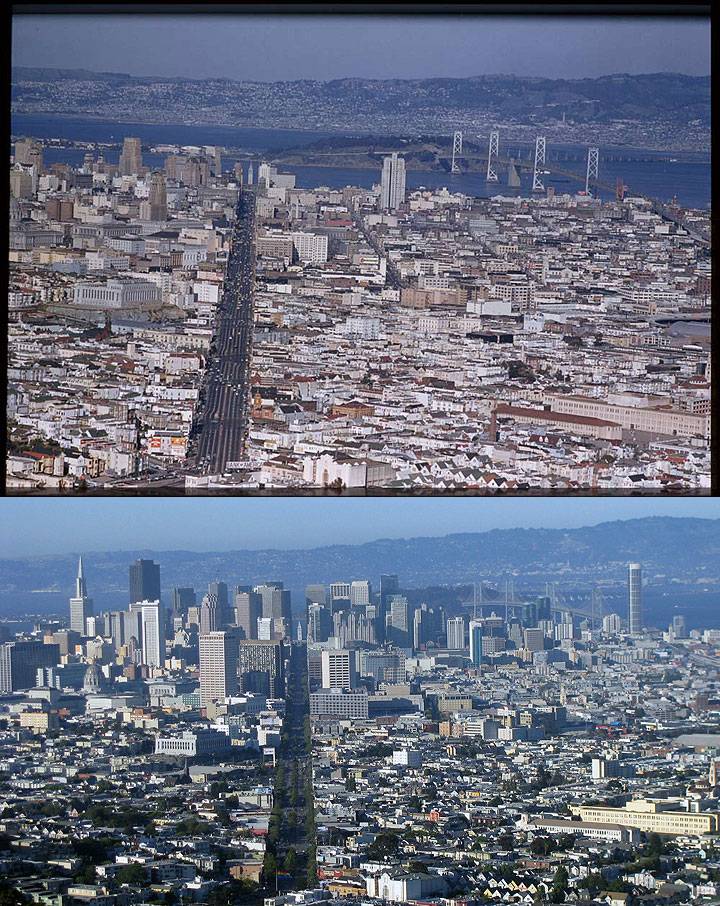
View from Twin Peaks
top: March 5, 1955; bottom: July 6, 2009.
1955 photo: Charles Cushman Collection: Indiana University Archives (P07658)
2009 photo: Chris Carlsson

