Bernal Cut: Difference between revisions
m fixed tour stop to 7 |
m added map photo |
||
| Line 54: | Line 54: | ||
''Photo: San Francisco History Center, SF Public Library'' | ''Photo: San Francisco History Center, SF Public Library'' | ||
[[Image:Bernal-cut-rr-line-through-mission.jpg]] | |||
'''The red line indicates the path the San Jose-San Francisco Railroad took through the Mission to reach the Bernal Cut at the bottom of the photo.''' | |||
[[Image:Tours-transit.gif|link=Arctic Oil Works]] [[Arctic Oil Works| Continue Transit History Tour]] | [[Image:Tours-transit.gif|link=Arctic Oil Works]] [[Arctic Oil Works| Continue Transit History Tour]] | ||
Revision as of 19:58, 19 January 2011
Unfinished History
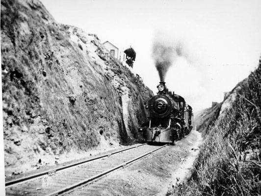
Train passing through Bernal Cut near Milton Street, 1905.
Photo: San Francisco History Center, SF Public Library
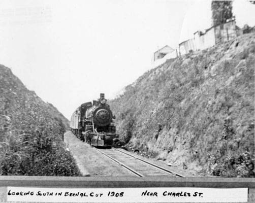
Looking south in Bernal Cut near Charles Street, 1905.
Photo: San Francisco History Center, SF Public Library
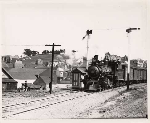
Railroad passing Bernal Cut, 1908.
Photo: San Francisco History Center, SF Public Library
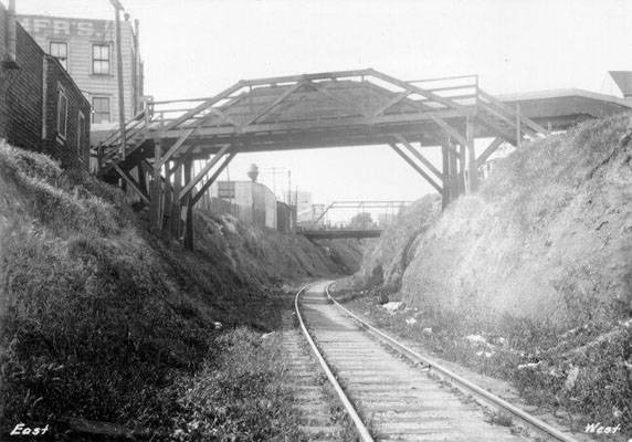
Looking south through the Bernal Cut, pre-1929.
Photo: San Francisco History Center, SF Public Library
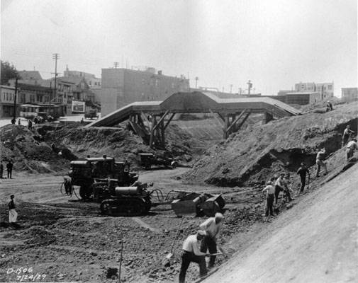
Widening the Bernal Cut to make it a car route too, 1929.
Photo: San Francisco History Center, SF Public Library
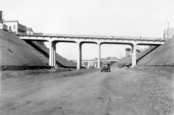
Bernal Cut at Richland Avenue overpass, October 18, 1929.
Photo: San Francisco History Center, SF Public Library
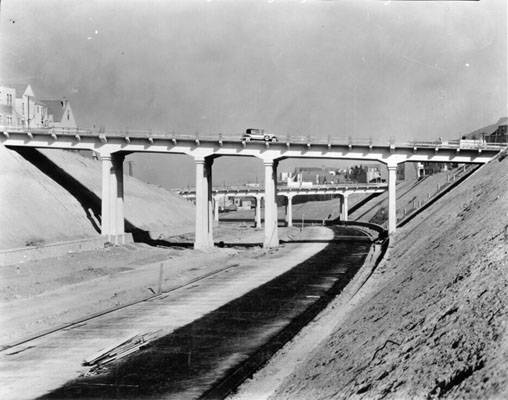
Bernal Cut, Richland Avenue, Miguel Street Bridge and Highland Avenue Bridge, October 18, 1929.
Photo: San Francisco History Center, SF Public Library
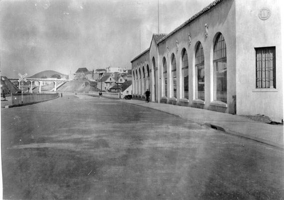
Bernal Cut looking north from Rousseau Street, April 1930.
Photo: San Francisco History Center, SF Public Library
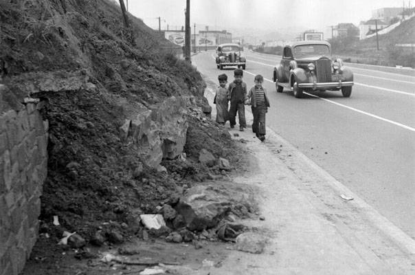
Three children wander hazardously along the Bernal Cut, c. 1942.
Photo: San Francisco History Center, SF Public Library
File:Bernal-cut-rr-line-through-mission.jpg
The red line indicates the path the San Jose-San Francisco Railroad took through the Mission to reach the Bernal Cut at the bottom of the photo.

