Kite Hill views: Difference between revisions
No edit summary |
habitat tour and PC |
||
| Line 41: | Line 41: | ||
''Photos: Chris Carlsson, 2008'' | ''Photos: Chris Carlsson, 2008'' | ||
[[Image:Habitat-tour-button.jpg]] [[Habitat Conservation Plan Compromises Survival of Native Species|-->Open Space Habitat tour continues]] | |||
[[Mt. Olympus |Prev. Document]] [[Nobby Clark's Folly |Next Document]] | [[Mt. Olympus |Prev. Document]] [[Nobby Clark's Folly |Next Document]] | ||
[[category:Castro]] [[category:Eureka Valley]] [[category:hills]] [[category:1880s]] [[category:1890s]] [[category:1950s]] [[category:1990s]] [[category:2000s]] [[category:ecology]] [[category:gardens]] | [[category:Castro]] [[category:Eureka Valley]] [[category:hills]] [[category:1880s]] [[category:1890s]] [[category:1950s]] [[category:1990s]] [[category:2000s]] [[category:ecology]] [[category:gardens]] | ||
Revision as of 00:50, 16 December 2008
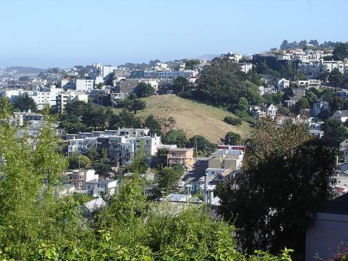
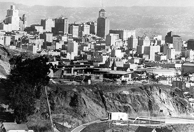
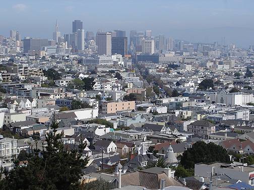
Standing on Kite Hill, center of photo above, the eastward views below towards downtown were taken over many years.
Photo: Chris Carlsson
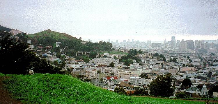
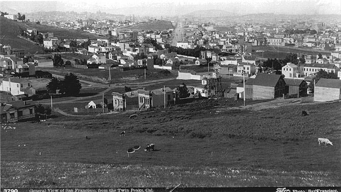
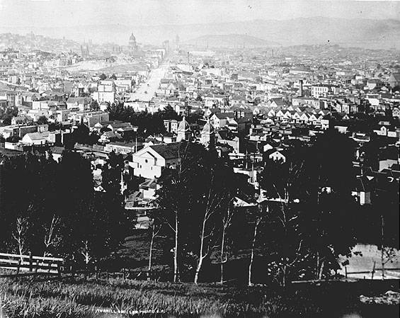
From Kite Hill in upper Eureka Valley, looking eastward, Corona Heights to left, Market St. and downtown in distance at right. Take a look at similar views in 1880 and 1890 and c. 1958.
Photo: Chris Carlsson
1880
Photo: Greg Gaar Collection, San Francisco, CA
1890
Photo: Greg Gaar Collection, San Francisco, CA
1958
Photo: Greg Gaar Collection, San Francisco, CA
2005
Photo: Chris Carlsson
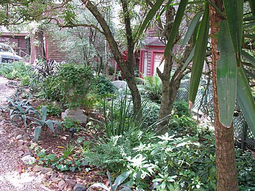
The views above are from Kite Hill or thereabouts. Today it is easily reached through the garden at the end of Stanton Street, which looks like this:
Photos: Chris Carlsson, 2008

