Laguna Honda: Difference between revisions
No edit summary |
(deleted from public health category) |
||
| Line 74: | Line 74: | ||
[[category:Sunset]] [[category:water]] [[category:geology]] [[category:1920s]] [[category:1950s]] [[category:2010s]] [[category:1930s | [[category:Sunset]] [[category:water]] [[category:geology]] [[category:1920s]] [[category:1950s]] [[category:2010s]] [[category:1930s]] | ||
Latest revision as of 22:10, 10 July 2021
Unfinished History
Laguna Honda was a natural lake before it was dammed and enlarged as a source of the city's water supply a century ago.
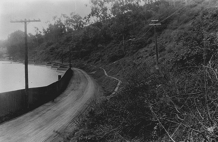
Laguna Honda looking south along 7th Avenue, Feb 21, 1919.
Photo: SF Dept. of Public Works, courtesy C.R. collection
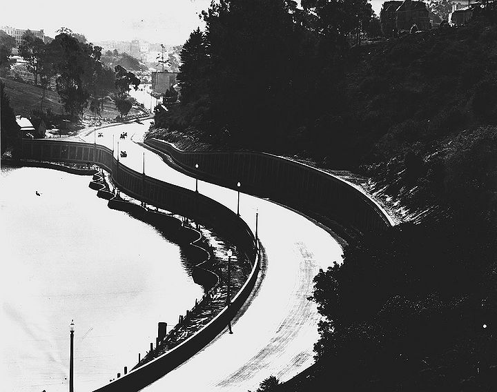
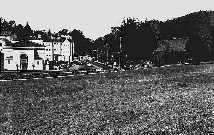
Laguna Honda along 7th Avenue, 1928.
Photo: San Francisco History Center, SF Public Library, courtesy C.R. collection
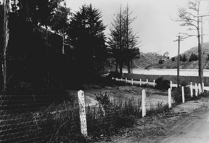
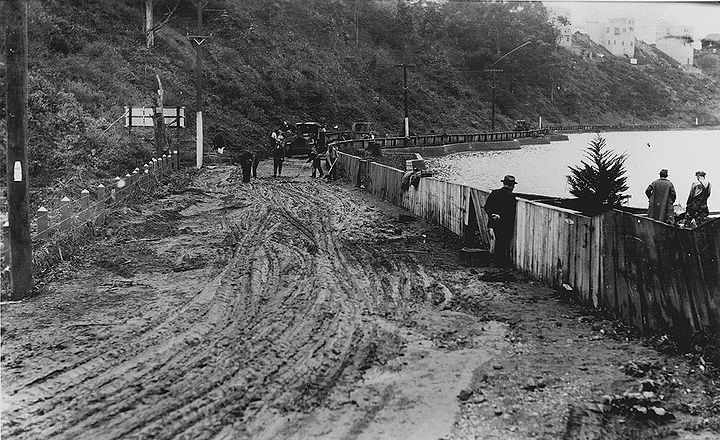
Clarendon north near Laguna Honda; 8th Avenue houses visible in distance, Feb. 21, 1919.
Photo: SF Dept. of Public Works, courtesy C.R. collection
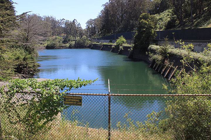
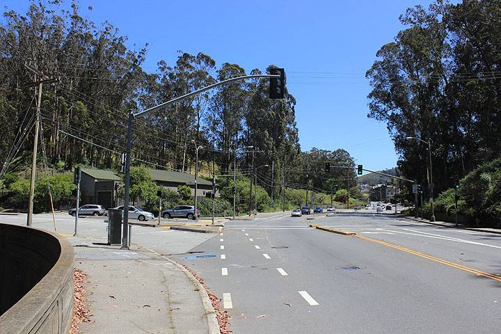
View south from north edge of Laguna Honda, 2014.
Photo: Chris Carlsson
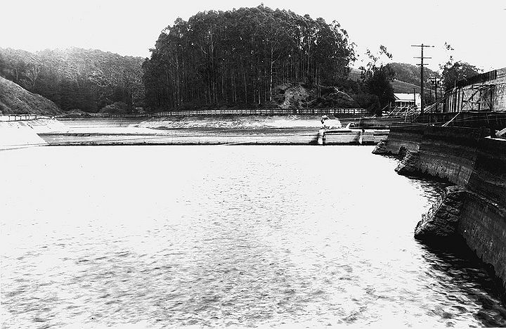
Laguna Honda reservoir looking southeast, April 17, 1929.
Photo: SF Dept. of Public Works, courtesy C.R. collection
Laguna Honda looking northwest from Clarendon, Nov. 26, 1921.
Photo: SF Dept. of Public Works, courtesy C.R. collection
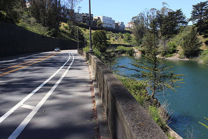
North along 7th Avenue, Laguna Honda at right.
Photo: Chris Carlsson
About two hundred yards north of the reservoir, near the intersection of Seventh Avenue and Lawton, there was another natural lake filled in in the early years of the 20th century. It was about the same elevation as Laguna Honda. The stream flowing between them could not have been very swift. And there is no indication of where any substantial stream might have gone. There is no ravine below or any indication of a streambed that would have carried the amount of water necessary to have carved such a cliff (to the west of 7th Avenue). Where the streambed might have been, there is nothing but sand... Conceivably a swift stream could have carved the cliff, then later been dammed by landslides, creating lagoons. (Harold Gilliam, The Natural World of San Francisco, 1967)
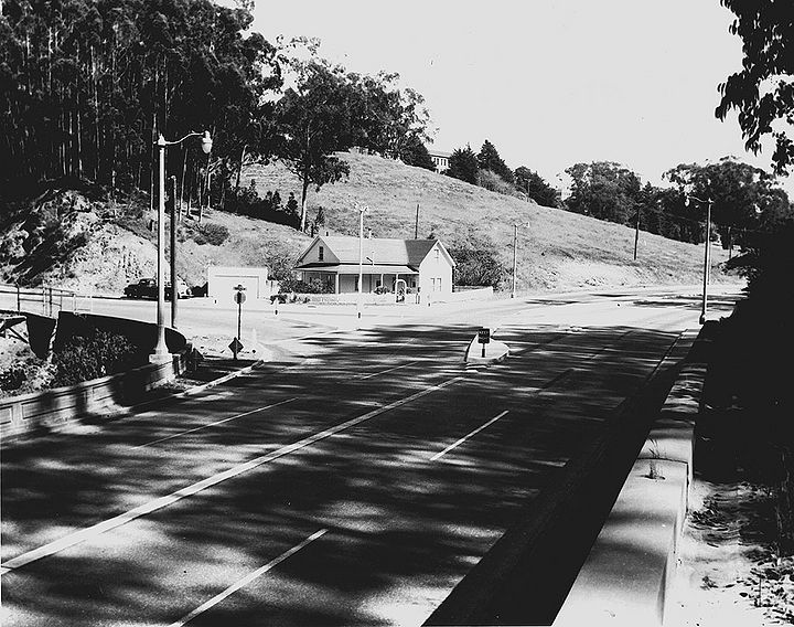
Laguna Honda southeast at Clarendon, SF Water Dept. house on corner, April 19, 1953.
Photo: SF Dept. of Parking and Traffic, courtesy C.R. collection
Laguna Honda southeast at Clarendon, 2014.
Photo: Chris Carlsson
Laguna Honda Blvd. northwest from Woodside with Forest Hill Station at left, June 1953.
Photo: SF Dept. of Parking and Traffic, courtesy C.R. collection

