Corwin Park to Tank Hill: Difference between revisions
(slideshow was no longer possible to embed through flickr, so took it off) |
(added link to slide show in box for visibility) |
||
| Line 64: | Line 64: | ||
From here one can stroll down directly into Cole Valley and the Haight if you leave Tank Hill to the west, or go back down the stairs and take Clarendon down to Clayton and 17th, and follow the cement stairs that go up across 17th to the northeast to ascend the little-known [[Mt. Olympus|Mt. Olympus]]. | From here one can stroll down directly into Cole Valley and the Haight if you leave Tank Hill to the west, or go back down the stairs and take Clarendon down to Clayton and 17th, and follow the cement stairs that go up across 17th to the northeast to ascend the little-known [[Mt. Olympus|Mt. Olympus]]. | ||
{| style="color: black; background-color: #F5DA81;" | |||
| colspan="2" |[https://www.flickr.com/photos/39999500@N05/sets/72157621879822926/ Go to a Flickr slide show of views on this walk] | |||
|} | |||
<br> | |||
<googlemap version="0.9" lat="37.756949" lon="-122.440546" zoom="17"> | <googlemap version="0.9" lat="37.756949" lon="-122.440546" zoom="17"> | ||
Revision as of 17:10, 3 March 2015
Unfinished History
From Corwin Mini-Park, go west across Corwin Street and go up the stairway between two buildings, recently designated by neighbors as "Acme Alley."
Acme Alley
Turn on Grand View Street and follow it to where it hits upper Market Street, right next to Stanton Street. If you go down Stanton Street it'll look like a dead-end but you can walk through the gardens to emerge to a great view from Kite Hill.
Stanton Street
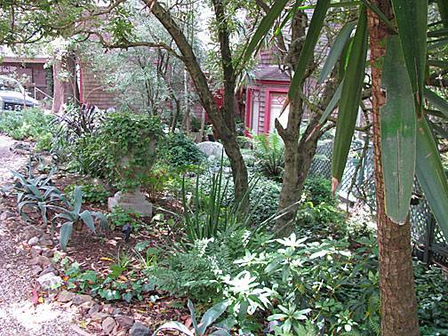
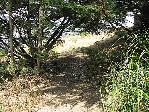
The gardens at the end of Stanton Street look like this:
This is the view:
But if you climb higher, you can see Kite Hill below you, and have a much more spectacular view.
To get up to Tank Hill from the intersection of Grand View and Stanton and Market, go across to where the Clayton MUNI switchback is. Proceed a long block to the intersection of Clayton and Corbett, where you will find a pink wall and a sign saying "Pemberton Steps." Take them up!
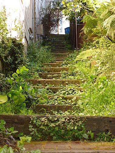
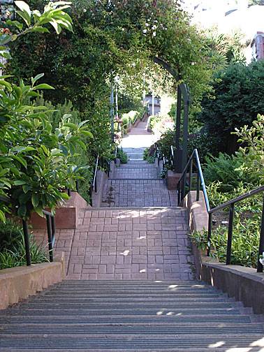
This is looking back down the newer section of steps, refurbished in the past decade.
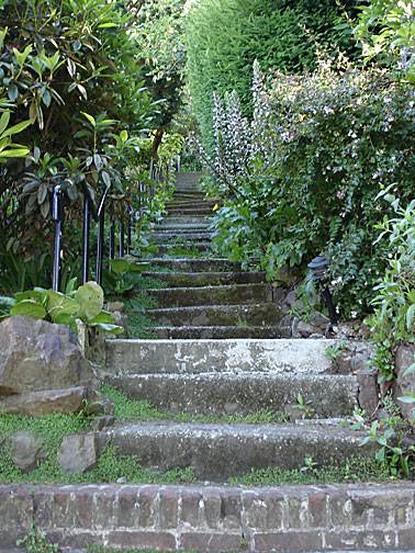
This is what the steps looked like before their makeover, and it's still what the last block going up looks like.
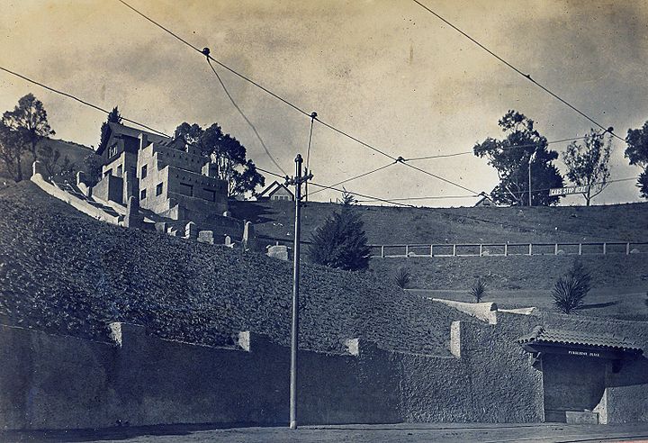
This is the Pemberton family house in 1912. Cyril Pemberton lived there.
Family photo
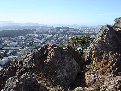
Turn right at the top of the steps and walk to the end of the street, where you'll emerge on Clarendon and a wooden staircase will beckon you from across the street. Climb it to Tank Hill for these amazing views.
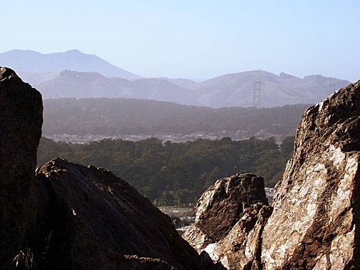
Northerly view over the Haight and Golden Gate Park.
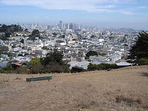
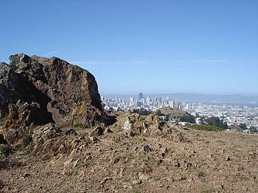
View towards downtown from Tank Hill.
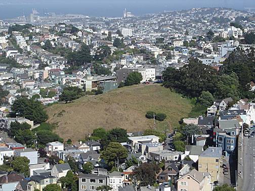
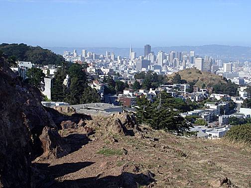
View towards downtown with Corona Heights in middle foreground.
From here one can stroll down directly into Cole Valley and the Haight if you leave Tank Hill to the west, or go back down the stairs and take Clarendon down to Clayton and 17th, and follow the cement stairs that go up across 17th to the northeast to ascend the little-known Mt. Olympus.
| Go to a Flickr slide show of views on this walk |
<googlemap version="0.9" lat="37.756949" lon="-122.440546" zoom="17"> 6#E5F50834 37.757659, -122.439076 Douglass at 20th, below steps. 37.757447, -122.439044 37.757108, -122.439001 37.756811, -122.438968 37.756565, -122.438958 37.757125, -122.439097 37.757108, -122.439355 37.757142, -122.439655 37.757209, -122.439977 37.757303, -122.440192 37.757498, -122.440299 37.7576, -122.440202 37.7576, -122.440073 37.757676, -122.439934 37.757879, -122.43987 37.757846, -122.439773 37.757498, -122.440041 37.757209, -122.44031 37.756989, -122.440492 37.756819, -122.440706 37.756845, -122.440889 37.756896, -122.441254 37.756794, -122.441608 37.756717, -122.442015 37.756743, -122.442241 37.756896, -122.442123 37.757074, -122.441672 37.757303, -122.441586 37.757617, -122.441522 37.757863, -122.441479 37.758176, -122.441458 37.758422, -122.4415 37.758541, -122.441747 37.758405, -122.441876 37.758278, -122.441779 37.758117, -122.441758 37.757964, -122.441812 37.757922, -122.442048 37.757947, -122.442251 37.758193, -122.442412 37.758227, -122.442702 37.758363, -122.44296 37.758465, -122.443324 37.758482, -122.443507 37.758202, -122.443614 37.758278, -122.443775 37.758151, -122.443914 37.758278, -122.444236 37.758312, -122.444515 37.758134, -122.444601 37.757879, -122.444644 37.757854, -122.444794 37.757752, -122.44518 37.757744, -122.445513 37.757998, -122.445695 37.758312, -122.445738 37.7586, -122.445942 37.75877, -122.446114 37.758787, -122.446318 37.758965, -122.4465 37.758728, -122.446564 37.758507, -122.446747 37.758346, -122.44694 37.75821, -122.447026 37.758117, -122.447133 37.75793, -122.447315 37.758075, -122.447594 37.75821, -122.447766 37.758584, -122.447906 37.758889, -122.448013 37.759126, -122.447841 37.759338, -122.447991 37.759415, -122.44782 37.759517, -122.447605 37.759754, -122.447562 37.759975, -122.447659 37.759924, -122.447852 37.759839, -122.448056 37.759746, -122.448152 37.759669, -122.448292 37.759652, -122.44856 37.759652, -122.448785 Belgrave looking east back at Tank Hill </googlemap>

