Islais Creek Covered: Difference between revisions
Texteradmin (talk | contribs) No edit summary |
m fixed transit tour order |
||
| Line 39: | Line 39: | ||
<hr> | <hr> | ||
[[Image:Tours-transit.gif|link= | [[Image:Tours-transit.gif|link=BART: Bechtel's Baby]] [[BART: Bechtel's Baby| Continue Transit History Tour]] | ||
[[Over the Waters . . . | Prev. Document]] [[Alemany 1926 | Next Document]] | [[Over the Waters . . . | Prev. Document]] [[Alemany 1926 | Next Document]] | ||
Revision as of 18:11, 19 January 2011
Historical Photo Essay
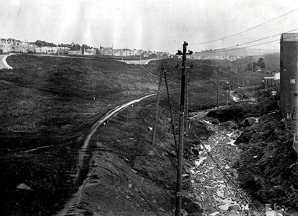
As seen from the Mission Viaduct, the proposed Alemany Boulevard along the course of Islais Creek, running down from Glen Canyon to the marshes between Bernal Heights and Bayview/Hunters' Point, 1910.
Photo: Greg Gaar Collection, San Francisco, CA
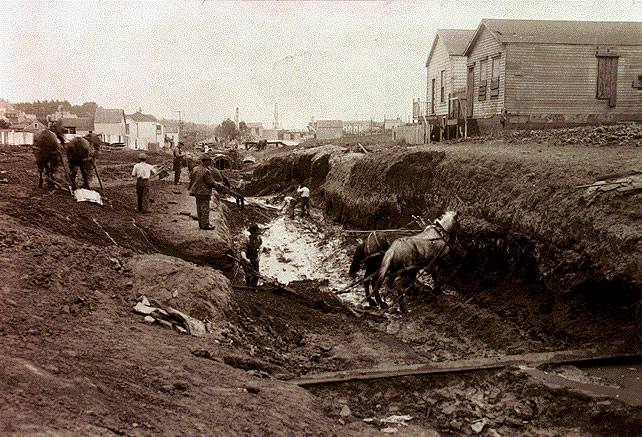
1911
Photo: Greg Gaar Collection, San Francisco, CA
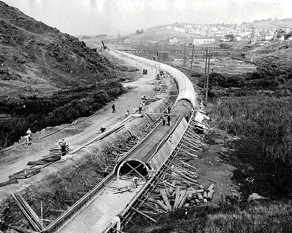
Late 1920s
Photo: Greg Gaar Collection, San Francisco, CA
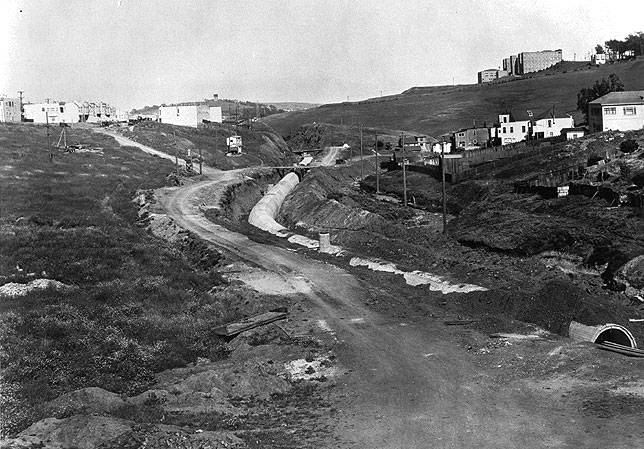
1930. Note the building at upper right, which reappears in the following photos.
Photo: Greg Gaar Collection, San Francisco, CA
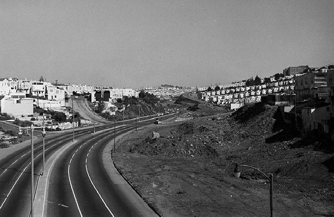
1960, Islais Creek now completely buried beneath Alemany Boulevard.
Photo: Greg Gaar Collection, San Francisco, CA
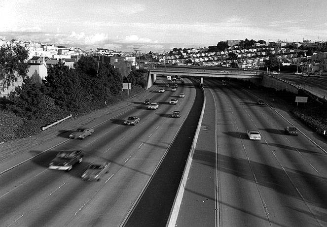
1980s, Interstate-280 has taken over the waterway, pushing Alemany Blvd. to its south.
Photo: Greg Gaar Collection, San Francisco, CA

