Southern Boundary of San Francisco: Difference between revisions
(PC) |
(changing navigation for deleted page) |
||
| (7 intermediate revisions by 2 users not shown) | |||
| Line 1: | Line 1: | ||
'''<font face = arial light> <font color = maroon> <font size = 3>Unfinished History</font></font> </font>''' | '''<font face = arial light> <font color = maroon> <font size = 3>Unfinished History</font></font> </font>''' | ||
[[Image: | [[Image:14-Muni-car-near-Daly-City-outer-Mission-c-1920s.jpg|720px]] | ||
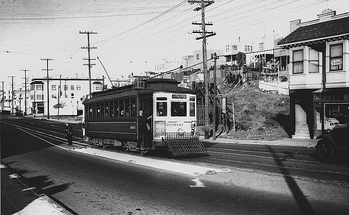
[[DALY CITY: THE NEW FILIPINOTOWN | Daly City]]''' and | '''14 MUNI streetcar nears Daly City on Mission Street, c. 1920s.''' | ||
''Photo: C.R. collection'' | |||
[[Image:Southwest-SF-from-McLaren-Park-1188.jpg]] | |||
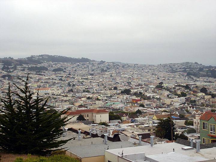
[[DALY CITY: THE NEW FILIPINOTOWN | Daly City]]''' and San Francisco's southwesternmost neighborhoods, including [[THE CROCKER-AMAZON|Crocker Amazon]], stretch across the northwestern flank of [[San Bruno Mountain|San Bruno Mountain]].''' | |||
''Photo: Chris Carlsson '' | ''Photo: Chris Carlsson '' | ||
[[ | [[Image:South-from-mt-davidson 7906.jpg]] | ||
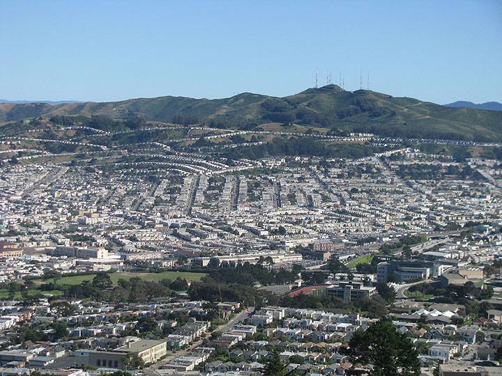
'''Southerly view from Mt. Davidson, with [[A Jail that Became a College|City College of San Francisco campus]] visible in foreground, southern neighborhoods and Daly City spreading up [[San Bruno Mountain|San Bruno Mountain]] in distance.''' | |||
[[Fleischacker Pool 1925-84 |Prev. Document]] [[Borica View |Next Document]] | |||
[[category:OMI/Ingleside]] [[category: | [[category:OMI/Ingleside]] [[category:2010s]] [[category:1920s]] [[category:transit]] | ||
Latest revision as of 15:43, 15 July 2020
Unfinished History
14 MUNI streetcar nears Daly City on Mission Street, c. 1920s.
Photo: C.R. collection
Daly City and San Francisco's southwesternmost neighborhoods, including Crocker Amazon, stretch across the northwestern flank of San Bruno Mountain.
Photo: Chris Carlsson
Southerly view from Mt. Davidson, with City College of San Francisco campus visible in foreground, southern neighborhoods and Daly City spreading up San Bruno Mountain in distance.


