Southeast View Across the Mission from Upper Market: Difference between revisions
(added new photo and category) |
No edit summary |
||
| Line 9: | Line 9: | ||
[[Image:BVSEVW86.jpg|720px|thumb]] | [[Image:BVSEVW86.jpg|720px|thumb]] | ||
'''Somewhat wider view, c. 1880s, cemetery where Dolores Park is now, Islais Creek wetlands in distance.''' | '''Somewhat wider view, c. 1880s, cemetery where Dolores Park is now, [[Islais Creek Remembered|Islais Creek wetlands]] in distance, [[Gray Brothers Quarry at Corona Heights|Corona Heights]] in right foreground.''' | ||
''Photo: Greg Gaar Collection, San Francisco, CA'' | ''Photo: Greg Gaar Collection, San Francisco, CA'' | ||
Revision as of 23:44, 12 February 2013
Unfinished History
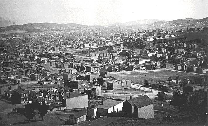
Southeast view, c. 1890s, across lower Castro, the Mission with Potrero Hill in distance. Market and 17th Sts. are in foreground. Today's Dolores Park, then a Jewish Cemetery, is a small park area just above the center of the photo.
Photo: Greg Gaar Collection, San Francisco, CA
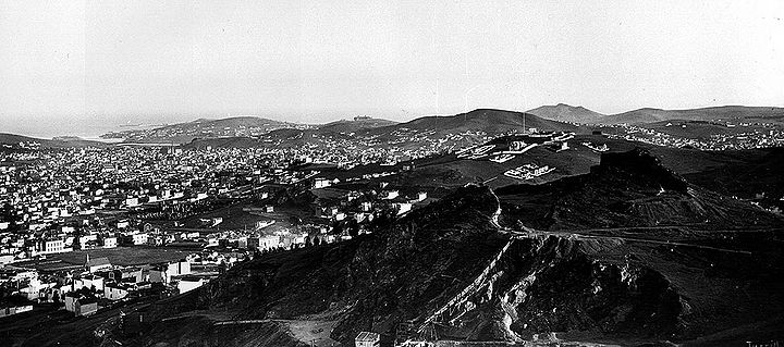
Somewhat wider view, c. 1880s, cemetery where Dolores Park is now, Islais Creek wetlands in distance, Corona Heights in right foreground.
Photo: Greg Gaar Collection, San Francisco, CA


